Let's talk
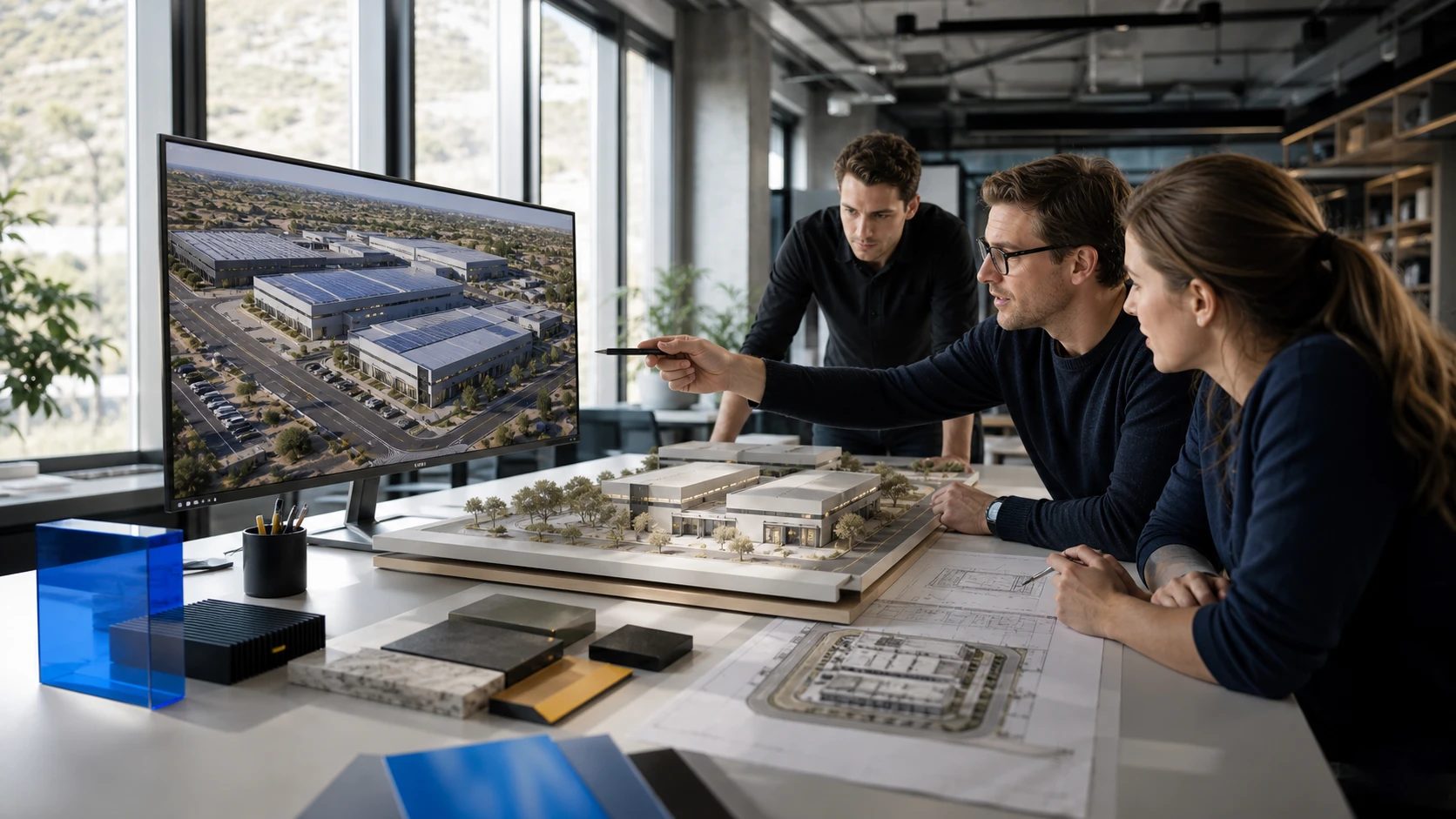
Team reviewing an industrial park render, scale model and plans

Showcase

Present with clarity.

Spatial and visual data, made visible in images, spaces and stories people understand at first sight.

We capture what exists, visualize what isn’t built yet and communicate it in the format each audience needs.

01Capture

Document what exists.

We produce lasting visual records to document, explain and represent the company.

  • Professional photography

    Industrial and architectural photography: facilities, processes, interiors, exteriors and built projects.

  • Corporate and industrial video

    Institutional stories, capabilities, processes, projects, testimonials and cases.

  • Reality scanning

    Precise 3D captures of sites, buildings and spaces, ready to measure, model and explore.
02Visualize

Show what isn’t built yet.

We choose the format that makes each project easiest to understand.

  • Architecture

    Renders and 3D models of interiors, exteriors, masterplans and developments before they are built.

  • Interactive maps

    Plans, locations and inventories on a map, connected to data and sales processes.

  • Interactive experiences

    Microsites, virtual tours and data visualizations to explore information.

03Communicate

Present it with intent.

We turn information into pieces that explain, convince and represent you.

  • Websites

    Fast, clear corporate websites connected to the company’s systems.

  • Corporate design

    Brand applications, brochures, technical sheets, catalogs and printed materials.

  • Executive presentations

    Structure, synthesis and design of decks for leadership, sales, investment and training.

Keep exploring.

Let's see what your data can do.

Start with a call: we understand your challenge and show you where we can help.